Frequently asked Questions


Frequently Asked Questions: Remote Sensing and Photogrammetry
What is remote sensing?
Remote sensing is the science of gathering information about an object or area without making physical contact with it. Think of it as taking a picture from a distance to learn about something. This is usually done with sensors on satellites, airplanes, or drones that collect data about the Earth's surface.
What is photogrammetry?
Photogrammetry is a branch of remote sensing that focuses on making measurements from photographs, especially for creating maps, 3D models, or drawings. It's how we create detailed and accurate maps and models of places, buildings, or objects using a series of overlapping photograph.
What's the difference between remote sensing and photogrammetry?
The main difference is the type of data collected and what it is used for. Photogrammetry is a type of remote sensing that specifically uses photographs to create precise measurements and 3D models. Other types of remote sensing use different sensors (like radar or thermal cameras) to collect data that isn't just a picture, but can tell us things like temperature or elevation.
Where is this technology used in my daily life?
You use this technology every time you use a navigation app on your phone, like Google Maps or Apple Maps. Those maps are created using satellite and aerial imagery, which is a form of remote sensing. Photogrammetry is used to create the 3D building models you see on those apps. It's also used to track crops for farming, monitor the environment, and help with disaster relief.
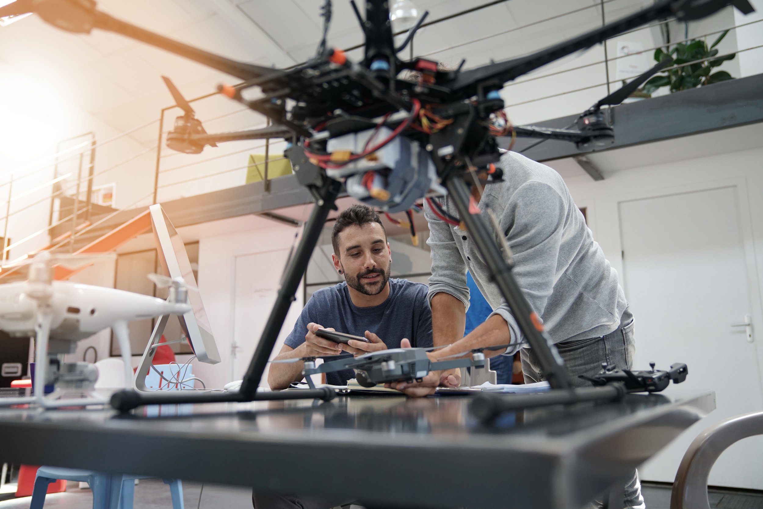
Which tools are used in remote sensing?
The tools are called sensors, and they can be passive or active.
Passive sensors (like a regular camera) rely on reflected sunlight to take an image.
Active sensors (like radar or LiDAR) send out their own energy to measure how much reflects back, allowing them to work day or night and through clouds.
What are the advantages of remote sensing compared to ground observations?
Remote Sensing, especially from space, allows large area coverage (from regional to country scale) in a single snapshot, something impossible with only ground surveys. Remote sensing can collect data in areas that are dangerous, remote, or inaccessible (e.g., polar regions, war zones, high mountains, disaster zones). Finally, remote sensing provides repetitive observations which are key to monitor changes over time (e.g., urban growth, deforestation, flooding).
How does remote sensing help us understand the Earth?
By collecting data on a massive scale, remote sensing helps us monitor everything from climate change to urban growth. It's used to track deforestation, sea level rise, melting ice caps, and changes in global temperatures. This data is vital for scientific research and for making informed decisions about our planet.
Is satellite imagery the only type of remote sensing?
No, it's not. While satellites are the most common platform for remote sensing, the technology is also used on:
Airplanes (for high-resolution aerial photography).
Drones (for small-area, highly detailed mapping).
Ground-based sensors on tripods or poles.
How does remote sensing help with things like climate change?
Remote sensing provides an unbiased, global view of our planet. Scientists use satellite data to monitor key climate indicators, such as:
Changes in sea ice and glaciers.
The health and extent of forests (which absorb carbon).
Temperature changes on land and in the oceans.
Levels of greenhouse gases in the atmosphere.